ICRA RoboMaster University AI Challenge
Third Prize, May 2022
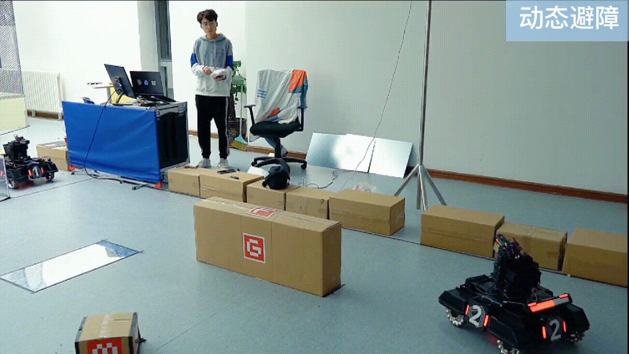
Led the robot localization and navigation system in a team-based autonomous robot competition. Implemented multi-sensor fusion using dual-height lidars, resolved positioning ambiguities in a symmetrical arena, and developed a robust path planning system that achieved an average speed of 1.3 m/s. Our innovative approach integrated sentry camera data to enhance obstacle avoidance and tactical positioning.
WeChat Mini Program Development Competition
Second Prize (Northwest Region), May 2022
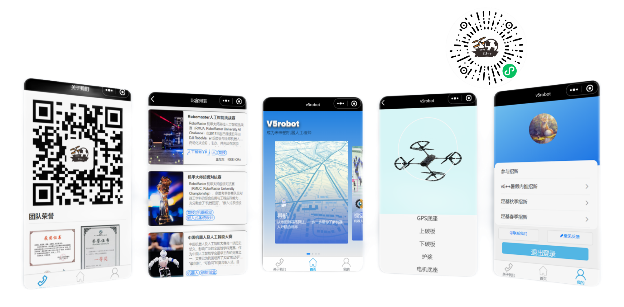
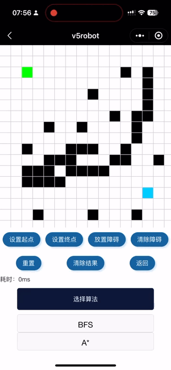
Led a team to develop V5robot, an educational platform promoting robotics knowledge through interactive content and mini-games. The platform covers essential robotics concepts like navigation, vision, and control systems while serving as a recruitment tool for Northwestern Polytechnic University's Soccer Robotics Base.
Point Pair Feature-Based Pose Estimation
Implemented center voting-based PPF pose estimation during my internship at ASGO-3D Lab. This approach transforms implicit PPF voting into explicit center voting, significantly improving pose hypothesis generation, clustering, and verification. Tested the algorithm's performance on the U3OR dataset with promising results.
